Date: 11/11/2017 and 4/22/2018
Who: myself
Length: about 4 miles (2 out + 2 back)
Time: 2-3 hours
Weather: 30-50 degrees, sunny, snowy trail
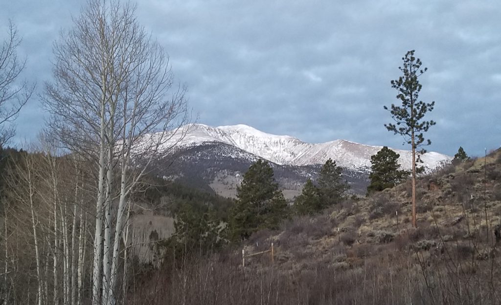
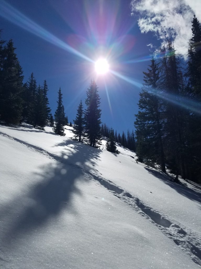
Mount Ouray is a “thirteener”–a 13-thousand foot mountain–southwest of Poncha Springs and Salida, Colorado. (It is not near Ouray.) The east face of the mountain has a geographic feature known as the “devil’s armchair”. I have made two attempts to get to the summit of Mount Ouray, and both times was turned back by snowy conditions. Despite not making the summit, both attempts were fun hiking days. And, I have learned some lessons.
Mount Ouray East Face
The way to Mt Ouray
Lessons learned include:
– It’s ok to not make it to the summit. I still had a good day both times.
– Take snowshoes if there’s a chance you will need them.
– There was more snow on this trail in April than there was in November.
– O’Haver Lake is a nice little national forest campground.
Date: 4/15/2018
Who: myself
Length: about 5 miles (2.5 out + 2.5 back)
Time: 4.5 hours
Weather: 40-50 degrees, sunny, calm
Blodgett Peak trail is accessible from the Peregrine neighborhood on the northwest side of Colorado Springs. The trails starts at Blodgett Peak Open Space parking lot.
Friends at work had warned me about difficulties route-finding on this summit. I had received warnings about many social trails, steepness, gravel, talus, and even some rock-climbing. It was indeed a challenge for me, but also really fun! I found a route that was relatively reasonable. A predominately dirt trail does exist to the top, and it is possible to avoid rock-climbing and talus-scrambling.
At the summit, I had the place to myself for about 45 minutes with beautiful views, warm sun, utter calmness, no wind, and quiet. It’s kind of rare that those factors all come together.
My tips for hiking Blodgett Peak:
– In the beginning section, do not hike all the way to the water tower. There’s a fence installed there now to discourage hiking up the social trails. Instead, take Hummingbird Trail, which is very nice and doesn’t add much if any distance.
– In the valley with the creek bed, stay left of the creek bed for as long as possible. There are several places where the trail and gravity seem to lead you to cross over to the right side. On the left side, the trail is mostly dirt and rock. The right side looked like mostly gravel to me. Stay left until you get to a spot with a ~20′ waterfall leaving no choice but to climb rock or cross over to the right. Then, follow the trail near the rock wall upward until you can get around the wall.
– At the top of the rock wall, turn left on the trail heading slightly downhill. It seems wrong to go downhill, but the trail starts ascending again very soon. And, it avoids the talus field.
– When you see the “V” tree (see video), take a left where marked by large tree branches on the ground. Again, this keeps the route on a mostly-dirt trail and avoids the talus field.
– Be prepared for a very steep hike. I found hiking poles very useful.
I saw someone else’s YouTube video which mentioned pink ribbons. But, I only spotted 3 pink ribbons on my route. If anyone has corrections or better advice for reaching Blodgett Peak, please comment below.
This hike was so steep, it reminded me of the Manitou Incline. Here are some stats for comparison: Manitou Incline climbs 2000 feet in 0.88 miles. Blodgett Peak Trail (the steep section starting at the creek valley) climbs 1800 feet in about 1 mile.
Date: 4/12/2018
Who: myself
Length: about 11 miles
Time: 6 hours
Weather: about 50 degrees, windy
Mueller State Park is located west of Pikes Peak, less than a 1 hour drive from Colorado Springs. It adjoins Dome Rock State Wildlife Area. Dogs are not allowed on the trails in either area. I camped in the park campground one night, and spent the next day wandering around the trails.
My route started at the park visitor center. I hiked several trails which together formed a 11 mile loop. I reached the Hammer overlook, from which I could see Dome Rock. However, I did not make it all the way to the rock. I hiked all day without encountering another person until the last mile.
The trails on this hike were mostly well marked and easy to follow, with some exceptions. A map is a good idea. For route-finding, I used my old Pikes Peak Atlas map, which is no longer published. If I were going to buy a map today, I’d consider Pocket Pals. Free trail maps of the two areas are available from the state park and wildlife area sites linked above.
antler bone on the trail
I’d like to go back to try the loop trail around Dome Rock. However, it is open to the public only from July 15 – Nov. 31, in order give a bighorn sheep herd protected land during calving season.