
Date: 10/13/2015
Who: myself
Length: 9.25 miles
Time: 7.5 hours
Weather: 55-60 degrees, sunny
This was a beautiful Fall hike and my 9th fourteener summit. I left Colorado Springs early in the morning, drove 2 1/2 hours to the trailhead near Salida, hiked 7 1/2 hours, and drove home that evening. It made for a long day. I’m not sure what got into me, in order to do that trip all in one day. Driving home in the dark was unpleasant, due to the bug-splattered windshield and stress of watching for wildlife along the road.
One advantage of a Fall mountain hike is the weather: not a cloud in the sky all day, and no threat of afternoon thunderstorms, as is usual in the Summer. The temperatures were mild. Disadvantages of Fall hiking include fewer hours of daylight, no water in the streams, and very few wildflowers. Aspen leaves were still at about 25% color.

Jeep at Trailhead
My goal was to reach the summits of both Mt. Shavano and nearby Tabeguache Peak. However, my legs tired out sooner than expected so I only did the one summit.
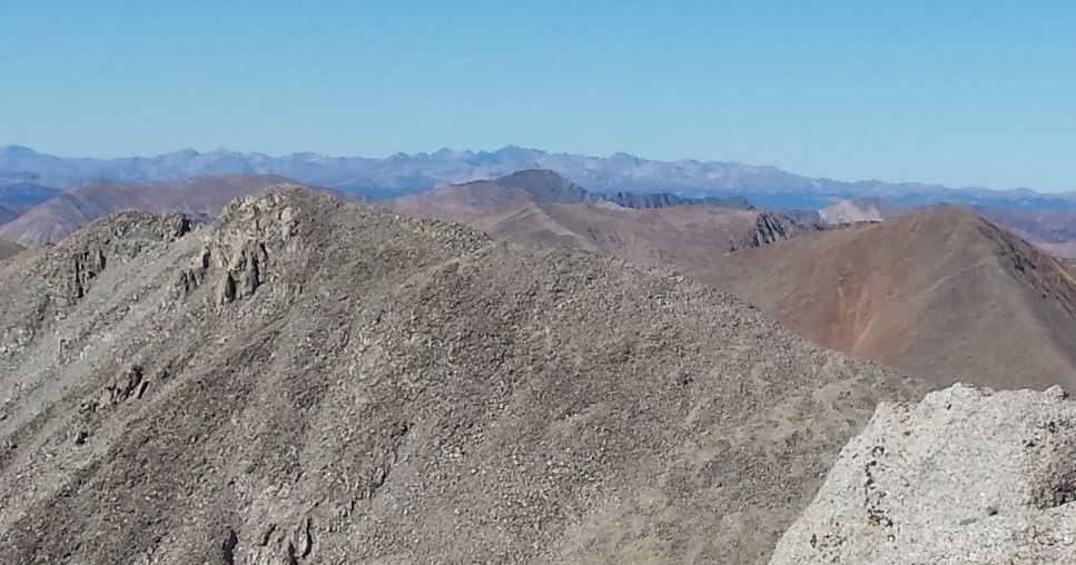
Tabeguache From Shavano Summit
A highlight was encountering a group of female and juvenile bighorn sheep at the saddle below the Mt. Shavano summit.

Bighorn Sheep on Mt. Shavano
This hike followed the RED line:
View Colorado Chris Hikes in a larger map


