Spring Creek

Date: 01/11/2015
Who: Sammy and myself
Length: 2.6 miles
Time: 1 hour
Weather: about 45 degrees, mostly cloudy

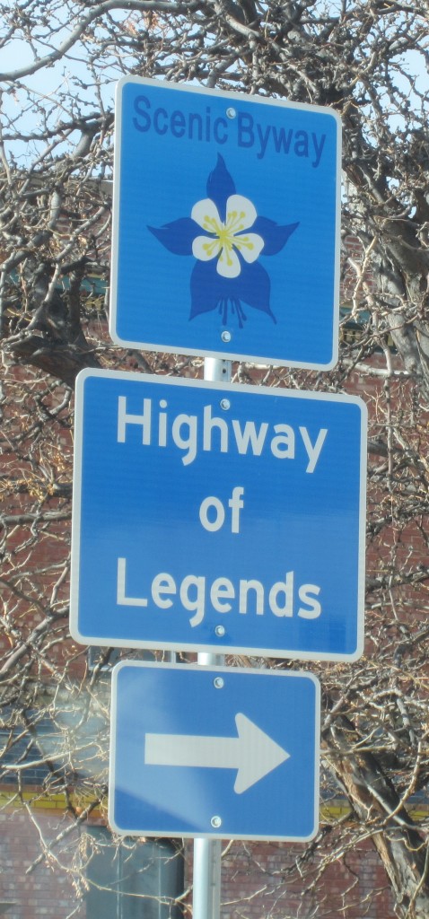
Today we took a scenic drive on the “Highway of Legends“–Colorado state hwy 12 from Trinidad, looping around the Spanish Peaks. The highway gets its name from a series of legendary tales that occurred along the route. This trip was prompted by a brochure which I received as a Christmas gift from Lois. This site looks like a good resource for the Spanish Peaks area.

Highway of Legends sign

Highway of Legends sign

We stopped in the town of Cuchara, at the Spring Creek trailhead, and hiked for about an hour. It appears that this trail joins with a network of trails in the vicinity of the former Cuchara ski resort and the Sangre de Cristo mountains.

This hike followed the blue line:

View Colorado Chris Hikes in a larger map

Google Maps Changes

I’m not sure exactly when this happened, but the web-based Google Maps service has changed quite a bit. I’ve built a custom map including the routes of most hikes and added about 100 embedded maps to this hiking blog over the last 3 years. Now, it appears that all the embedded maps are broken.

In my testing I discovered that, if you’re logged in with a Google account on another tab in the same browser, then the old embedded maps are still visible. If you’re an anonymous visitor, you get an ugly “this content cannot be displayed in a frame” error.

One lesson learned is that web-based service providers can and do change their service whenever they want to. Free service providers, especially, have no obligation to maintain the service. This is no surprise, really, but a good reminder.

It also makes me think of the concept “if you’re getting a service for free, then in fact your’re not the customer–you’re the product being sold.” I wonder how this concept might apply in the context of Google Maps.

I did expect that Google, being as large as it is, would be a stable service provider. I guess that I was wrong about that.

Perhaps, I’ll switch to a system of using JPG images to illustrate my hike routes, instead of interactive embedded maps. The jpg could still link out to Google Maps. Pages would load faster. It will take awhile to go back and change all the old posts.

Hmmm, I wonder how long YouTube will be free. That can’t last forever, either.

Screenshot of Sample Error:
Sample Error from embedded Google Map

If you click on the “open this content in a new window” link:
another sample error screenshot

UPDATE 1/18/2015:
The day after I reported that all my embedded maps were broken, I noticed that they were working again. However, I’m still having difficulty figuring out how to embed new custom maps with the desired location centered in the view. Also, when Internet Explorer (v9 32-bit on Win 7) renders the page, it erroneously jumps down to the embedded map. I’m glad this is just a personal blog and not my livelihood.

Saint Peters Dome

Date: 01/04/2015
Who: Sammy and myself
Length: about 1 mile
Time: 1 hour
Weather: about 30 degrees, sunny

Today we drove up Old Stage Road and Gold Camp Road, to the St. Peter’s Dome trailhead (Duffield’s Overlook). This is a short hike, but was more challenging today with about 6-10 inches of snow on the trail. I was prepared with waterproof hiking shoes, gaiters and microspikes, and layers to stay warm.

Almost at the top, there’s a bit of rock scrambling necessary. A rope is there for assistance, although I don’t know how old it is. I didn’t want to leave Samadhi by herself, so decided not to climb up the rope.

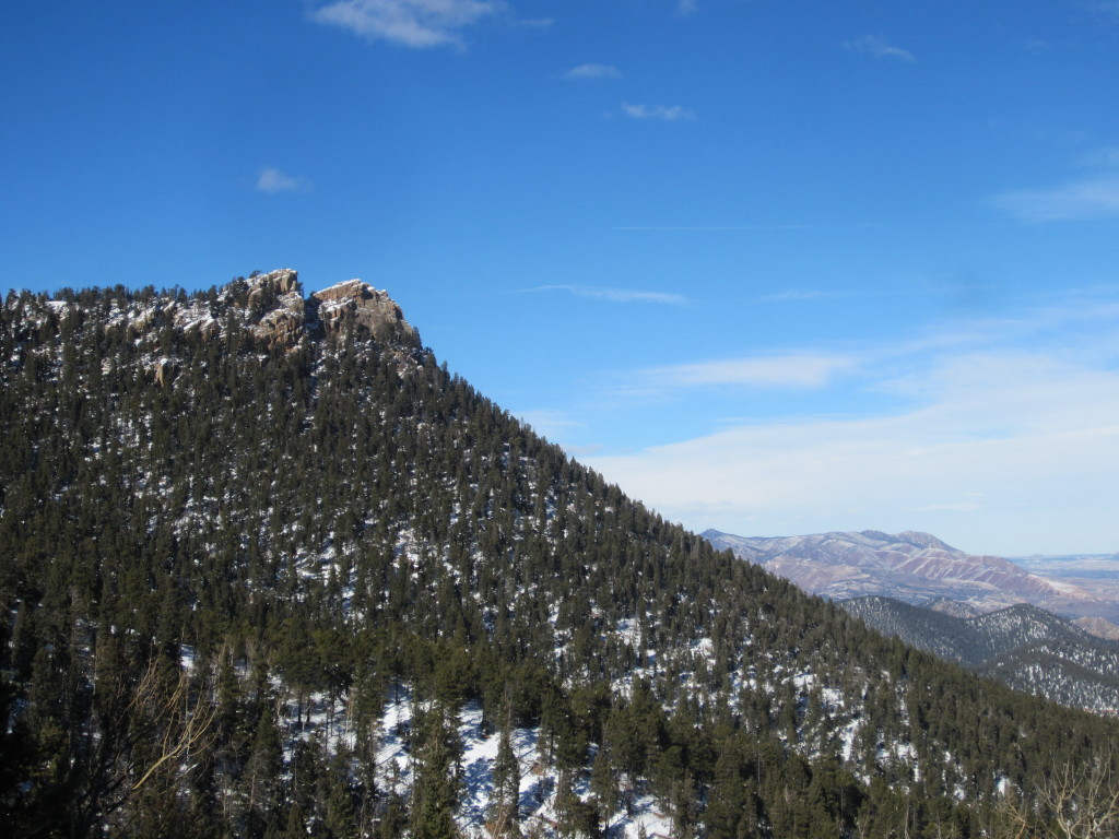
We also took a short walk down a closed off old section of Gold Camp Road, and got this photo of St. Peters Dome from there:

Saint Peters Dome

Saint Peters Dome

Sorry, no map. After recent changes to Google Maps, much functionality seems to be missing.

UPDATE on 11/14/2015:
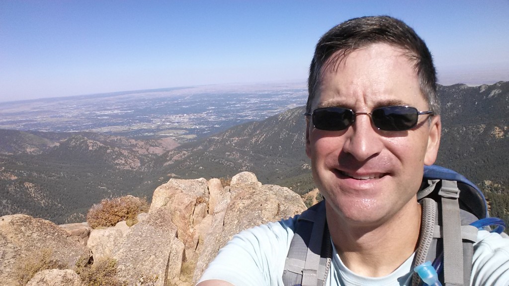
I went back to St. Peters Dome on 9/26/2015, climbed the rope and reached the top. Here’s a photo looking back at Colorado Springs from St Peters Dome.

Chris at St Peters Dome

Chris at St Peters Dome

Also, adding a map of the trail following the BLUE line:

View Colorado Chris Hikes in a larger map