
Date: 07/15/2015
Who: myself
Length: 3 miles (roundtrip)
Time: 6 hours
Weather: about 70 degrees, cloudy
The day started with a fun early morning drive up forest service road 361 to reach the upper trailhead in Yankee Boy Basin. I drove as far as permitted–the road was closed about 1/2 mile below the upper trailhead.
The hike to the summit was short in mileage, but was the most difficult technical hike that I have done. The steepness of the first gulch combined with loose rock required some concentration. The second gulch (Lavender Couloir) still had some snow, but my Kahtoola microspikes provided enough traction to get through safely. Finally, the “V” notch at the top of Lavender Col required a little courage to pull myself up and through it. This was my 8th fourteener summit.
I took my time going up and down, being especially careful in the snow. On the way down I met with some groups who were on their way up. I spent some time chatting with the others about the trail conditions. I lent my microspikes to some of them, to help them navigate the snow.
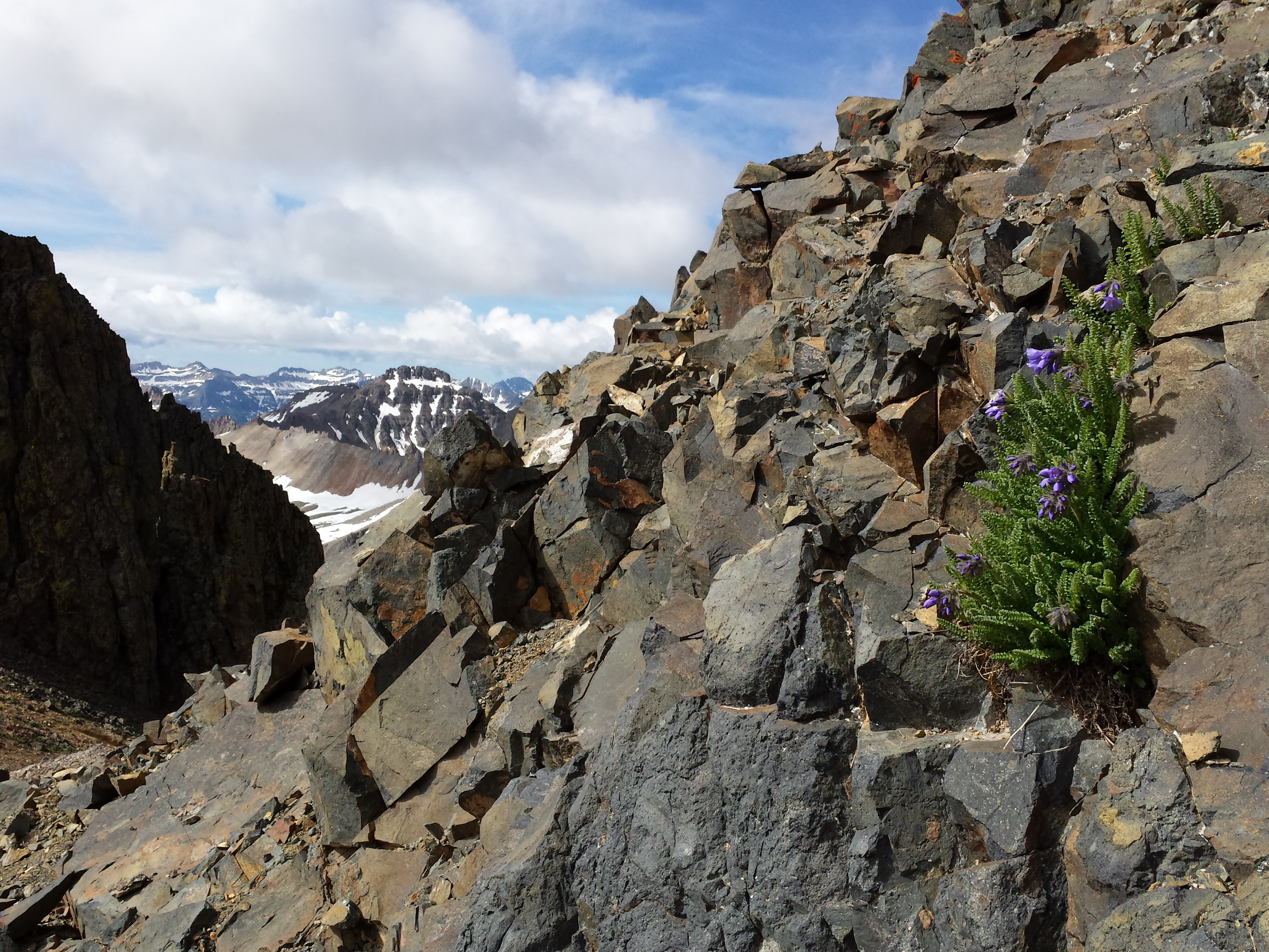
Sky Pilot at base of Lavender Couloir
I dedicated this hike to my Dad, and meditated on his memories and his presence throughout. I also remembered previous visits to Yankee Boy Basin and Blue Lakes with Michelle and our old dog Sarah Jane.
This hike followed the BLUE line:
View Colorado Chris Hikes in a larger map


