Date: 1/21/2012
Who: Michelle, Sammy and myself
Length: 5.6 miles (2.8 in + 2.8 back)
Time: 3.3 hours
Weather: 40-50 degrees, sunny
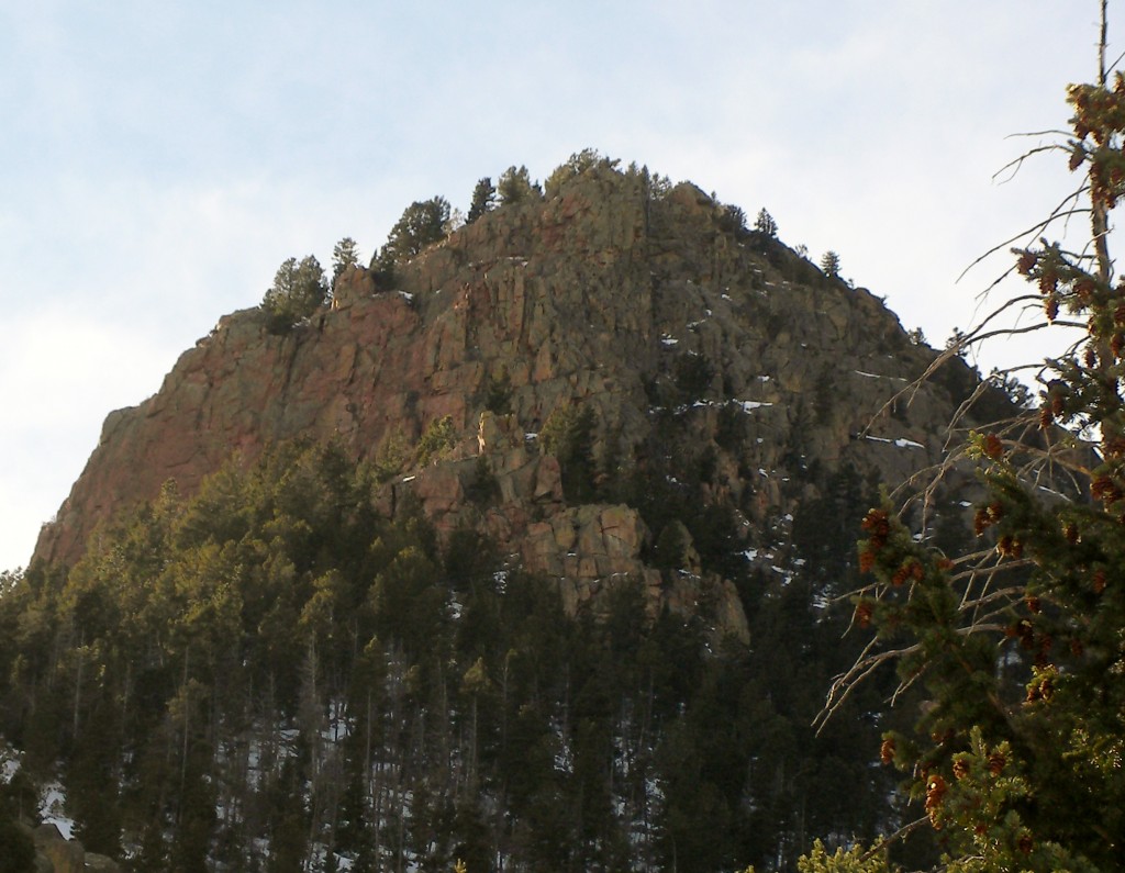
This hike starts at the Gold Camp Road parking lot in North Cheyenne Canyon Park, goes up Gold Camp Road, past the Seven Bridges trail, up and over a collapsed tunnel, then up trail 624 to the falls. Total elevation gain is about 1,000′. The trail was mostly packed snow and icy, but our microspikes made mincemeat of the ice. The dominant feature while approaching the falls is Cookstove Mountain. It was interesting to see the falls completely iced over. The trail follows the creek for about 1.5 miles, which adds a nice dimension.

This hike followed the BLUE line:
View Colorado Chris Hikes in a larger map

Another fun one to read & watch. Good camera work, Michelle. And I was wondering, does Sammy go twice or three times the distance you hike by running ahead then back to you etc…?! Good stuff, Co. Chris 😉
These are not hikes…. They are adventures. one finger for me on a great hike!