Date: 7/19/2014
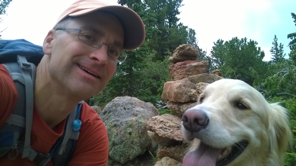
Who: Sammy and myself
Length: about 16 miles
Time: 10 hours
Weather: 65-70 degrees, clear/cloudy
This was a long day-hike, starting in N. Cheyenne Canyon Park and ending near Manitou Springs at the entrance to Crystal Park. The route included Gold Camp Road, Seven Bridges trail, Jones Park, Mt. Garfield, bushwhacking north to Cameron Cone, and difficult route-finding down from Cameron.
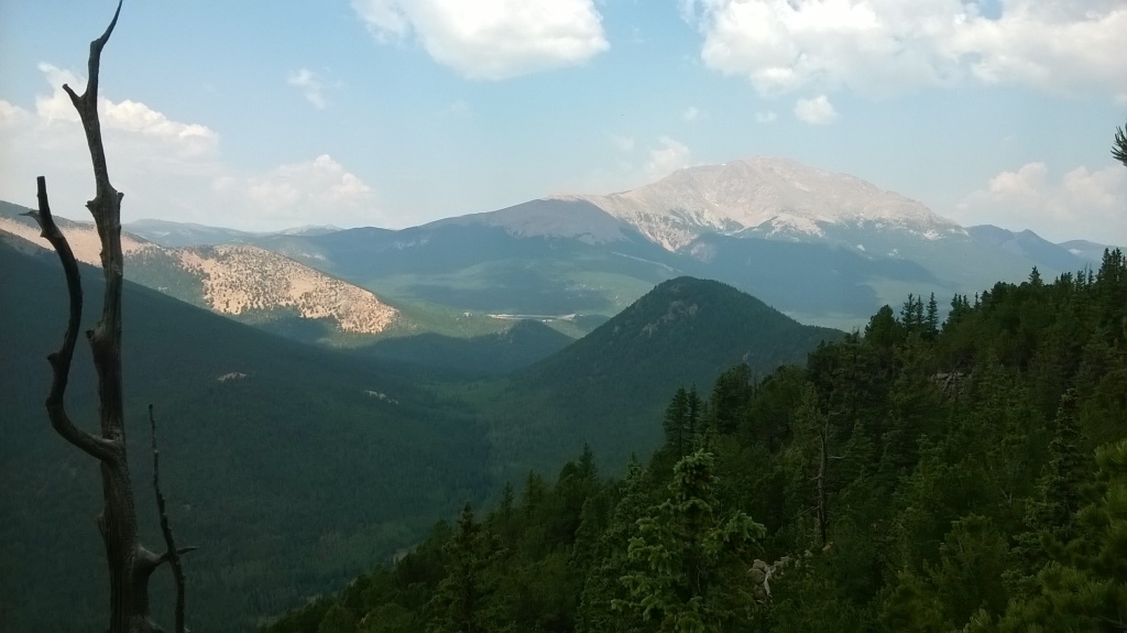
The first segment of the hike was a repeat of previous hikes up to Mt. Garfield. I had lunch at one of my favorite overlooks on Garfield.
Then it got interesting. No trail exists between Mt. Garfield and Cameron Cone, but I had a route in mind following the ridge from Mt. Arthur north. I made my way using topographic map, compass, and orienteering skills. I think it took about 2-3 hours to go the approx. 2 miles from Garfield to Cameron Cone. Route-finding in this area was slow-going–working around fallen trees, big rocks, brush, etc., while stopping often to check compass and map. I did find some cairns marking a route up the southern slope of Cameron Cone which helped. By the time I reached the summit of Cameron Cone, storm clouds were threatening to the northwest. So, i didn’t linger up there.
My plan for the route down was to take the trail on the north slope and end up at the Barr Trail trailhead. But, the trail on the north side of Cameron Cone is quite difficult to follow. The trail is not clearly defined, and not well-marked. I lost the trail several times, but found it again by back-tracking. During the descent, there was some lightning several miles to the north, which added stress to the experience. I wanted to get down as quickly as I could, safely. The storm drifted off to the east and never did reach us. About 1/2 way down, I hit the dirt roads in the upper section of the Crystal Park neighborhood. From the road, I could not find the trail to Gog and Magog rocks and Englemann Canyon! I was out of water and it was getting late in the day. So, the most reasonable option I could see was to walk all the way down the road through Crystal Park, even though it’s private property. This added additional time and distance to the hike. At least we made it down.
Michelle picked us up at the entrance to Crystal Park–boy, were we happy to see her! She drove us back to the 4-way to pick up the other vehicle. Perhaps I’ll try Cameron Cone again sometime, starting at the Barr Trail trailhead, in order to find that trail and figure out where I went wrong on the way down.
This hike started at the Four-way parking lot in N. Cheyenne Canyon (green pointer), followed the RED line to Jones Park, then YELLOW through Jones Park, then RED to Mt. Garfield, then BLUE to Cameron Cone and eventually down through Crystal Park:
View Colorado Chris Hikes in a larger map


Wow! What a hike, man. I read this one right after you posted, but didn’t t take the time to reply via my phone then. Glad you made it out OK. I can imagine the roller coaster of feelings with the awesome views as a “peak” and the lost trails/impending weather/orienteering stress. Thanks again, for sharing these stories, photos, and details of your journeys. I guess even though “not all who wander are lost” is true… sometimes they be a little bit bewildered by the tricks of the paths, plants, and mountains! Love ya, brother. See you sooner than later.
Pingback: Gog and Magog | Colorado Chris
Hey man I wanted to thank you for this post. I did this hike yesterday and found what I think is a mistake on the pikes peak atlas, but was able to load your site and maps from the crystal park area which helped me get down before dark. Thanks for the info, hope to see you out there sometime.