Date: 8/7/2013
Who: myself
Length: about 9.5 miles
Time: about 7 hours
Weather: warm, cloudy
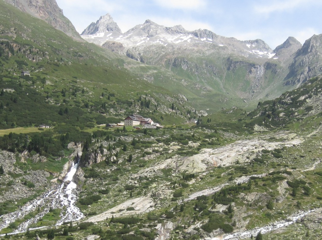
One of my goals for the Austria vacation was to experience the alpine huts. I was very curious to learn about this full-service hut system. These operations are much more than simple huts. Many offer full-service amenities such as private rooms, hot meals, beverages, plumbing, and electricity. Trails connect the huts, so it’s possible to hike through the Alps from hut-to-hut. I am not aware of anything like this in the Colorado Rockies. Berliner Hütte has some historical significance, as the only alpine hut protected as a memorial site. Many huts are operated by clubs like the Austrian Alpine Club, and some seem to be privately-owned and operated. Here are links to web resources for more information:
Austrian Alpine Club Huts, a German language site
UK Chapter of Austrian Alpine Club, a English language resource
Steve Jones Slow Travel Blog Post, one of the first mentions I found of the alpine huts
Mayrhofen Website – Berliner Höhenweg
Bergverlag, a publisher of paper booklets available at the local Bahnhof (train station). The booklet I used was titled Hüttenführer 2013. Our rental apartment had several Bergverlag booklets on different topics, and the landlady advised us where to get copies. These are German-language booklets.
I had read online that reservations were not necessary to stay at the alpine huts. My German is not great, so I was reluctant to call ahead to make a reservation. (With marginal language skills, face-to-face conversations are easier to negotiate than over a telephone.) I had no international cell phone, anyway. So, I was testing the “no reservation needed” concept. My plan was to show up early, reserve a room, then hike up to Schönbichler Horn (3,133 Meters), and then return for dinner and to spend the night. My day did not work out that way, though!
Mark drove me to the trailhead at the Gasthaus Breitlahner. Mark was not feeling up to this hike, so he stayed in the Zillertal valley and spent the day visiting the local churches. I hiked up the valley, past the Grawandhütte and Alpenrose Hütte to the Berliner Hütte. I arrived at the Berliner Hütte too early to sign up for a room–or so it seemed. When I arrived at 9:30 AM, no one was at the desk, and all the staff was busy cleaning the place. A sign at the desk said something about rooms being available at 1500 Hrs (3:00 PM). Perhaps if I had asked the right person, I could have gotten my name on a list?
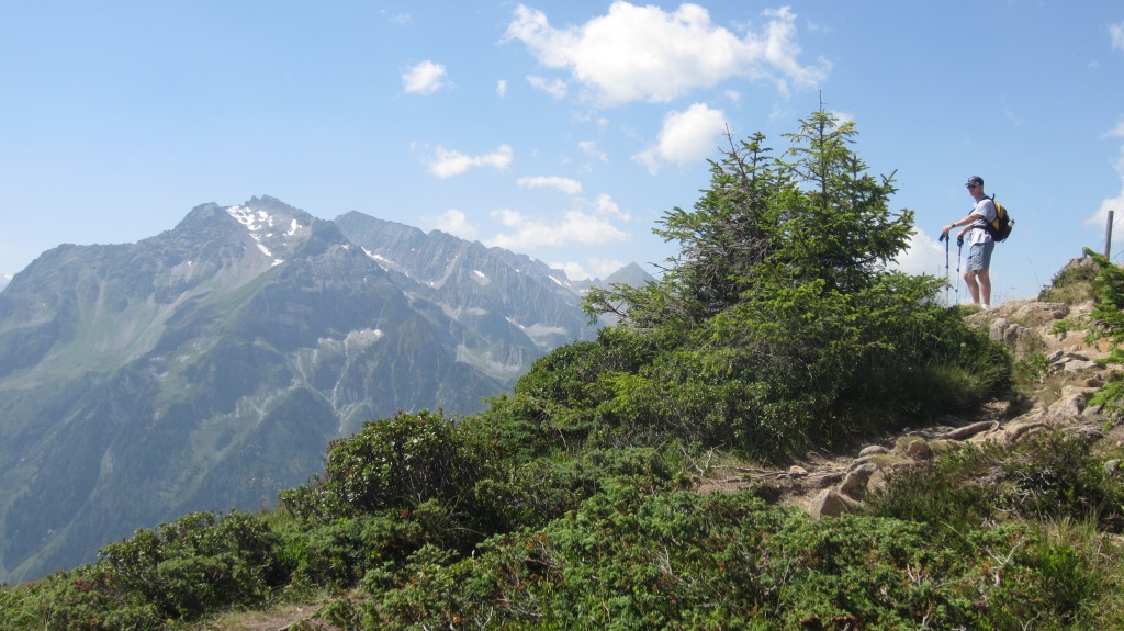
I set off on the Berliner Höhenweg trail towards Schönbichler Horn at about 10:00, without having made a room reservation. About 5 minutes later, I missed a turn on the trail because I was talking into the darn camera about how I wanted to make good time (oh, the irony). I ended up on the wrong trail, and hiked to the foot of the Hornkees glacier. I think that I really should have noticed much sooner that the trail was so poorly defined and the red and white trail marks were missing. By the time I got back on the correct trail, I had lost a couple of hours on my detour. I was getting tired, the clouds looked threatening, and I was worried about not having a room. So, I turned back towards the Berliner Hütte without having reached a 3,000 Meter peak. Dang.
I arrived back at the Berliner Hütte at about 2:00 PM. The place was much more busy now, compared to 9:30 AM, with much activity on the terrace and the dining room. The front desk was still closed, but I noticed a line of people forming at a table in the dining room. I got in line. The room-lady informed me that no rooms were available, but I could put my name on a waiting list. She assured me that even if no room opened up, I would be able to sleep in “Notlager” (emergency space). She said I would have to wait until about 5:00 PM to find out about a room. So, I waited out on the terrace, and had a huge plate of eggs and bacon for dinner. About an hour later, the very busy room-lady found me outside and gave me the news that she had assigned me a private room. Great! I am glad to have gotten a room. But, I still don’t understand the system for reserving a room. Maybe someone cancelled their reservation, and I was just lucky? If my German were better, I would have asked more questions. The cost for the private room was 26 Euro. If I had to do it over again, I would make a reservation in advance rather than go through the uncertainty.
It was an interesting and worthwhile experience to get a taste of the alpine hut system. If I ever go back to Austria again, it may be for a week-long hut-to-hut hiking tour. Next time, I’ll plan my route better!
This hike followed the BLUE line:
View Colorado Chris Hikes in a larger map


